Sailing autonomously with Naval
Dry Cargo
Naval Inland Navigation is proud to present its new activities in transportation of dry bulk and containers. In both we offer NAutical VALue by opting for innovation and durability, and to do so we take multiple initiatives.


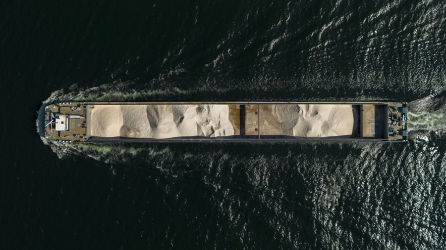
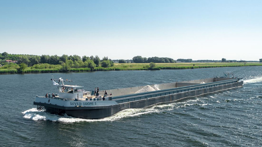
10 River Drones were put into service in the period 2023/2024.
Naval Inland Navigation, as brokers, offers the barges on voyage and or time charters. Please feel free to contact us for any transport requirements.
Transformation to climate neutral.
carrier and already has several projects under development. We also deliver NAutical VALue in this department. Do contact us for more details and for developing means of transportation together to improve your ecological footprint.
Remotely controlled Navigation (SEAFAR)
Means of operation.
Each vessel is equipped with the necessary hard- and software to enable navigation from an on-shore control center, which allows for remotely controlled navigation. All navigational tasks, including navigation and steering, manoeuvring, lock passages, mooring and unmooring, communication with other vessels and on-shore authorities via VHF, communication with on-board crew and people on shore (via walkie-talkie or via megaphone/intercom) is carried out by the On Shore Operator in the remote On Shore Control Center (SCC).
This implies that no tasks pertaining to the navigation have to be carried out by on-board personnel and the captain remaining on board is only present in a supervisory role. The on-shore operator is a fully licensed skipper/captain, in accordance with CCNR regulations for on-board personnel.
Used tools and equipment.
In order to manage the full suite of navigational tasks from the SCC, the River Drone is equipped with (in addition to all required navigational equipment including radar, VHF, etc. which remain on board) with a full set of tools and equipment to enable the operation: 4 x 4G/5G antennas supply a (quadruple) redundant communication from the vessel to the SSC.
Over the 4G/5G connection, a full set of sensory data is supplied to the SSC with data from 13 camera’s (including night vision camera’s and IR-imaging), 5 on-board LIDAR sensors, multiple (3) on board microphones and 2 radar antenna’s. All data is transferred in real-time to the SSC where the operator has full view of the vessel, including data from the on-board radar, pilot system, steering indicator, fathometer, VHF/Intercom, AIS, ECDIS and compass – all data providing the operator with a full view and information allowing safe navigation identical to navigation on board. All data received are constantly logged, and logging data is stored/kept for later retrieval and analysis.
We will keep you up to date with the latest project developments.
Take a look at the Seafar website and discover more about semi-autonomous sailing.


